Limited precipitation
3rd March 2022
There was very little new snow overnight and the freezing level rose to around 1000 metres this afternoon  – giving a rather damp and very foggy day. It was impossible to see anything but what was obvious was that the snow was softening rapidly – Cover below 700 metres is now pretty minimal but above 800 metres the situation is still good.
A little more snow forecast tonight – more for North Cairngorms  – and the freezing level is due to lower so we will be able to hang on to what we have for a bit longer. Surface layers will get firm and icy as the cooler conditions become established. It now looks likely that high pressure will drift over the Highlands for the weekend bringing dry and bright conditions – Fingers crossed!
Awful conditions for photography today so a very poor offering  – Apologies  – Will make it up to you over the weekend if the high pressure builds as promised….

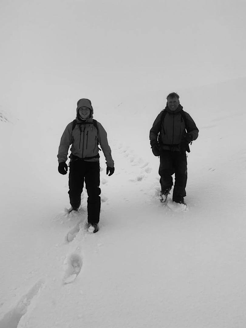
Much softer, wetter conditions underfoot today at lower elevations. Thanks to Donald of BMRT for this photo.

Awful visibility: Only large bright objects easily seen! (Or smaller equally bright objects – Scottish Schools ski races today at Glenshee)
Comments on this post
Got something to say? Leave a comment


