High Pressure To Continue….
20th March 2022
The good news is that the high pressure system is set to continue to dominate the weather for a few more days. The even better news is that the winds are set to ease for Monday with sunny conditions forecast. So if you have a free day, tomorrow may be the best one yet to head up onto the tops.
It was still very windy today – the van was getting rocked on its springs in the carpark – a geographical squeezing of the winds through the pass I think – as it actually wasn’t too bad when I was out – Or maybe I’m just so accustomed to being braced for gusts these days!
The cover is definitely best on the high mountains with some bulk over 1000 metres. The slightly lower hills in the Southern part of the forecast area are now starting to look very patchy – especially on the Southern aspects. The snow can still be very firm in places especially after these cold clear nights – Don’t be caught out on steeper ground – There are plenty of boulders available to stop your little slip!
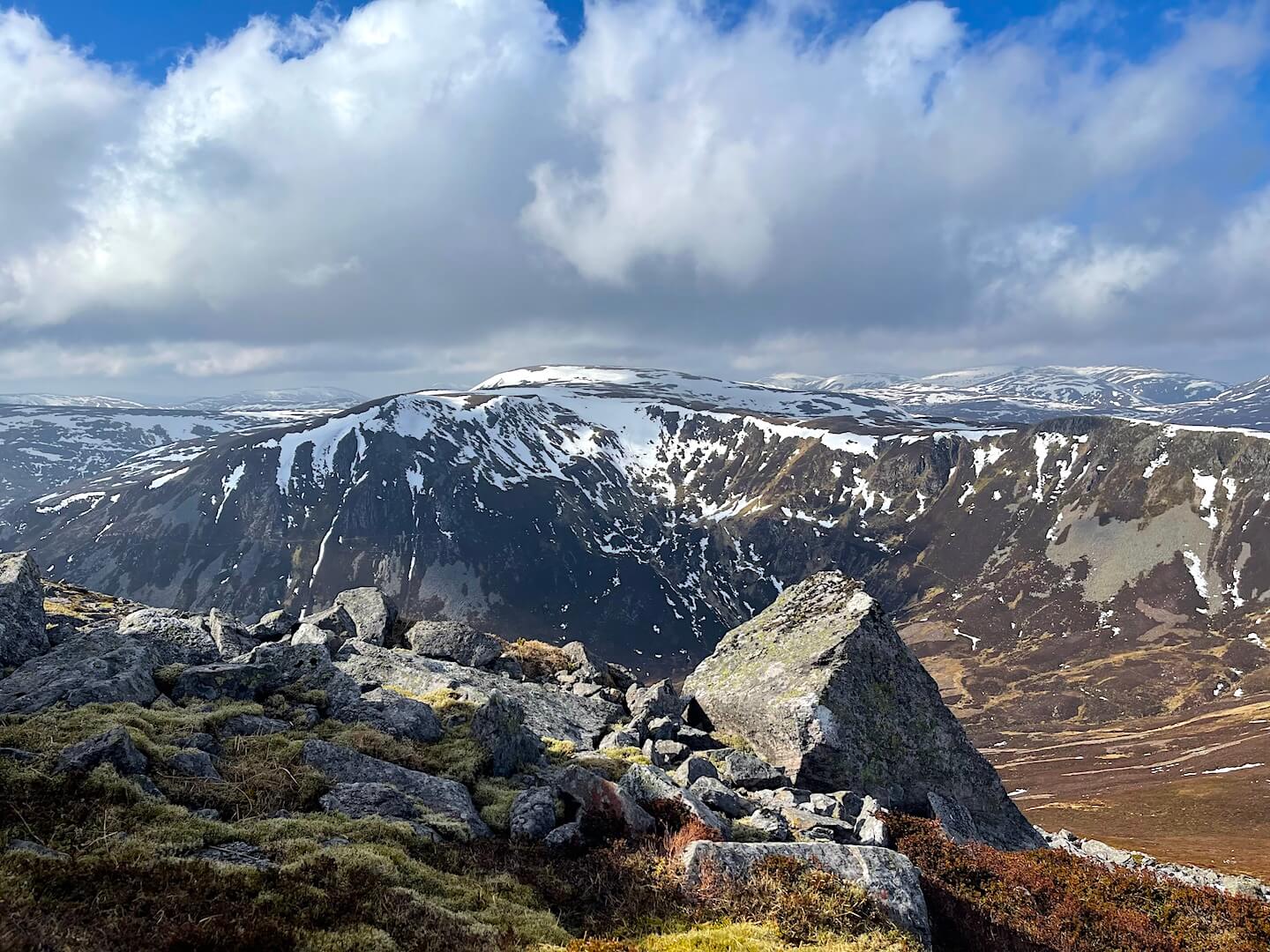
Looking across Carn nan Sac (920m) towards Carn a’Gheoidh (975m) from The Cairnwell (933m).
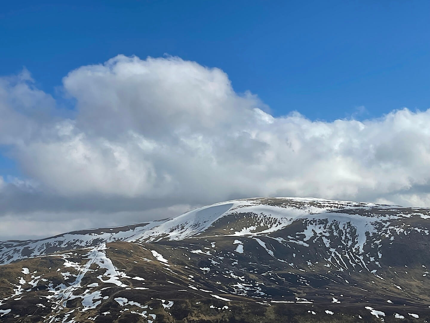
Glas Maol (1068m) with Coire Fionn holding snow.
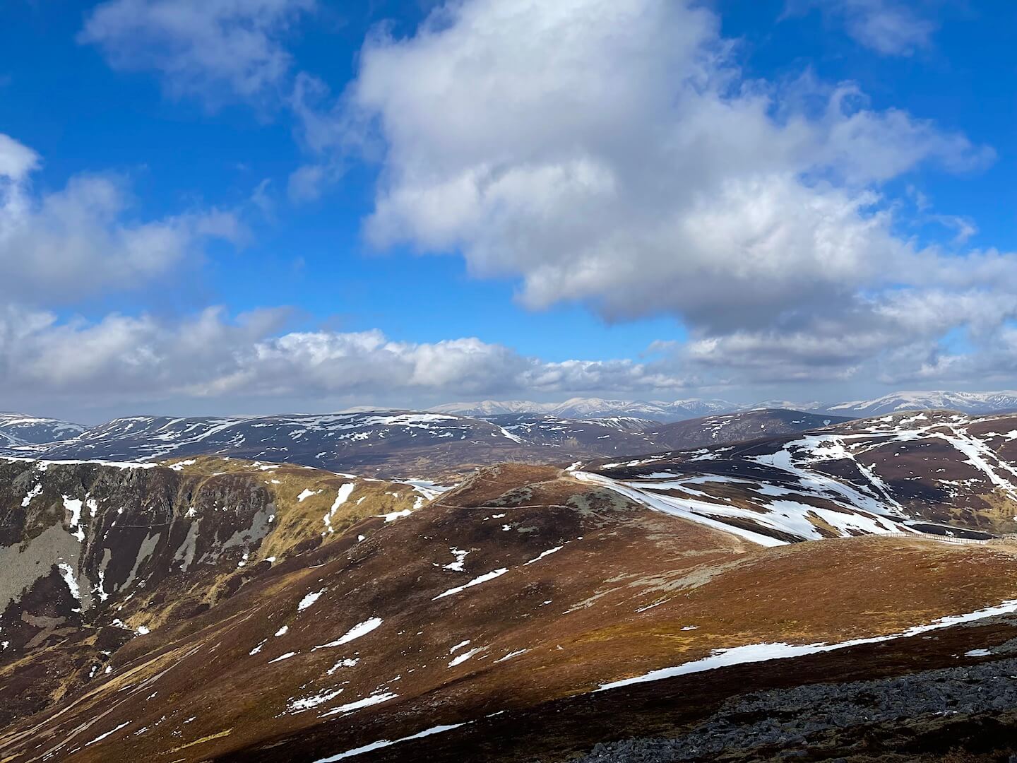
Looking generally North from The Cairnwell. The high mountains of the Cairngorm Plateau are holding snow.
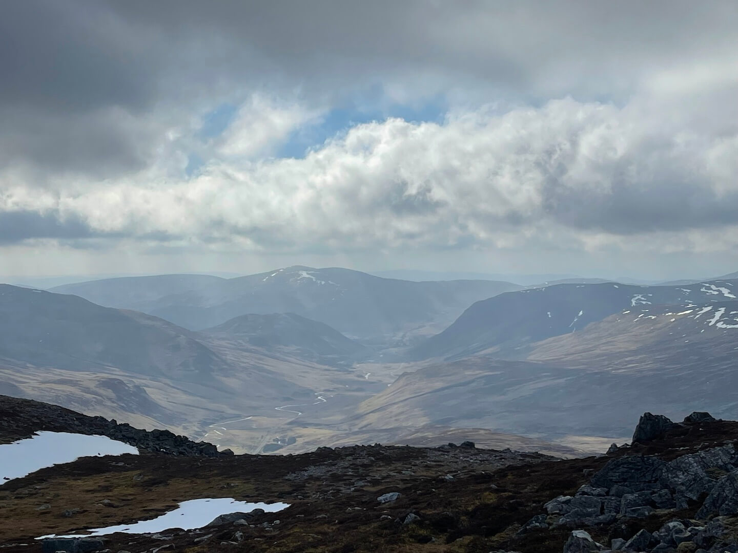
Looking South from The Cairnwell – Pretty much snow free.
Comments on this post
Got something to say? Leave a comment


