Chilly wind…
14th March 2021
Covid -19
The Scottish Avalanche Information Service issues information to support permitted activity under current Scottish Government guidance.
Please be aware of current mandatory travel restrictions in Local Authority areas within Scotland and respect local communities by referring to Scottish Government guidance and safe route choices for exercise. For further guidance please refer to the following information for hillwalkers and climbers and snowsports on ski and board.
This blog is intended to provide hazard and mountain condition information to help plan safer mountain trips.
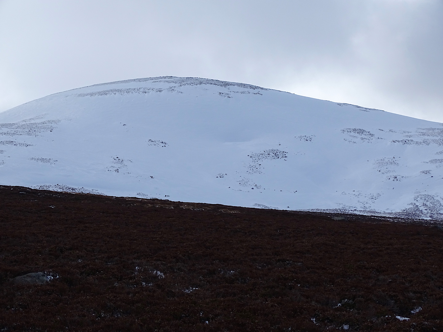
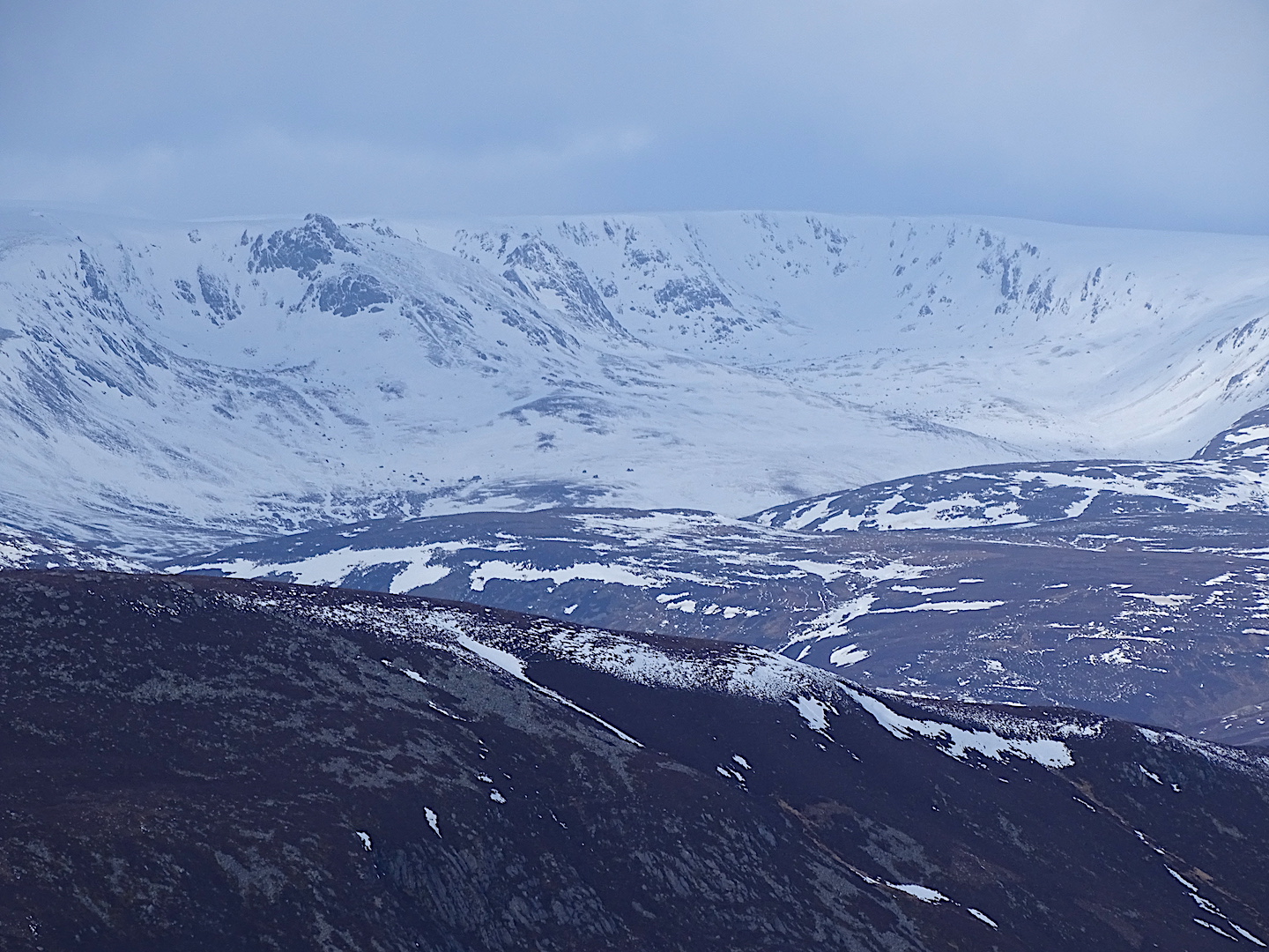
Storm force winds initially, eased to gale force and then became merely strong this afternoon. The wind chill was significant requiring all exposed skin to be covered. The cloud base was around 1200 metres but there were some breaks to the cloud allowing the sunlight through at times. The old snow is very firm requiring competent cramponing skills on steeper gradients. It looks like the freezing level is going to slowly rise over the next few days but doesn’t appear to be going over the highest summits.

Softer snow in this burn line from 800m. Very firm snow on the exposed slope – top right corner of shot.
Comments on this post
Got something to say? Leave a comment


