Snow forecast…
8th February 2020
We had a little new snow overnight and the odd isolated snow shower this morning. Heavy precipitation is currently crossing the area. Generally we have very little snow with localised deeper accumulations in highly wind sheltered locations – Gully tops, corrie rims etc. It’s quite a complicated forecast over the next 24 hour period with various amounts of precipitation throughout, cold temperatures then a rapidly rising freezing level going above the tops before a steady return to cooler conditions. The winds are going to be significant – very strong overnight, easing and then building again during the day. Conditions on the hills are going to be seriously challenging. Snow stability will be an issue and even though we don’t have a wide snow distribution small avalanches are possible – So careful route choice is definitely required – if battling with Storm Ciara is your thing – Early morning has lower winds speeds forecast than during the afternoon, when life might become pretty ‘interesting’ !
Really hard to take clear photos today as I was getting a battering from the winds… apologies in advance!

View towards Beinn a’Bhuird from Ballochbuie Forest.
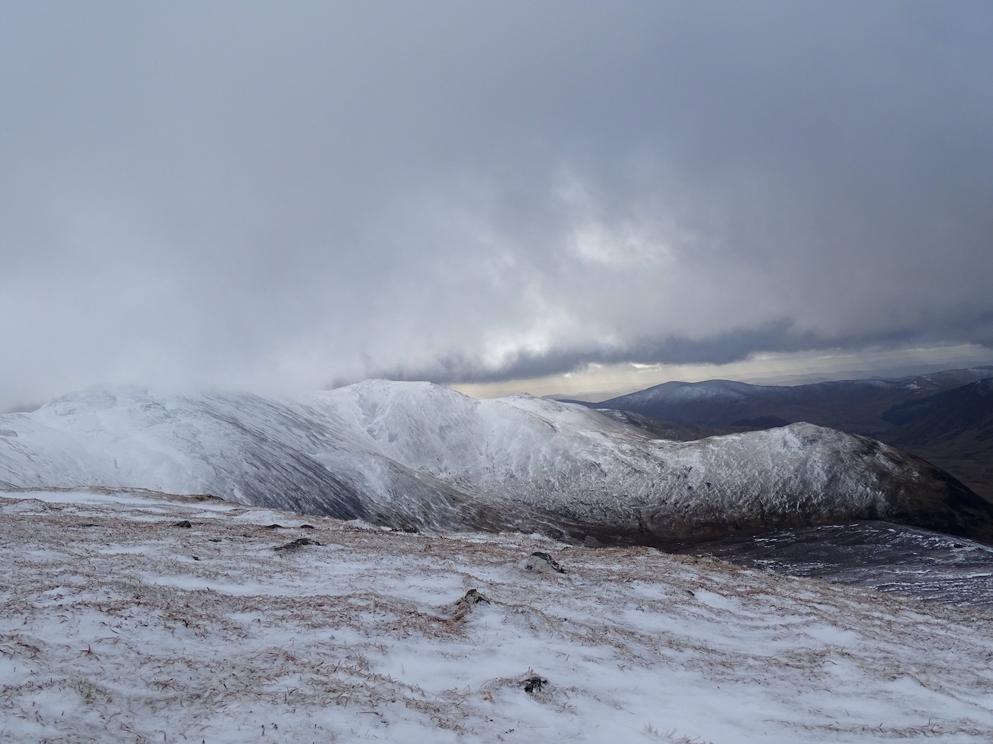
Occasional breaks in the cloud the morning.
Localised new snow accumulations. Deepest in wind sheltered locations above 1000 metres.

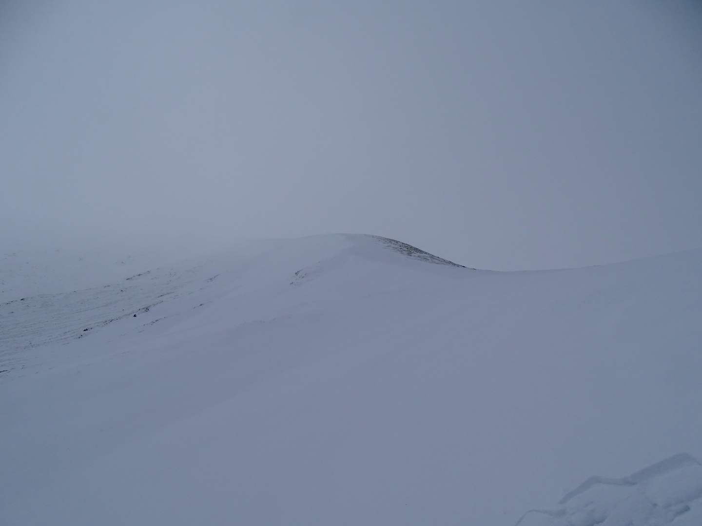
‘Growly’ conditions pushing in from the west.
Comments on this post
Got something to say? Leave a comment


