Going…going…g***!
16th February 2019
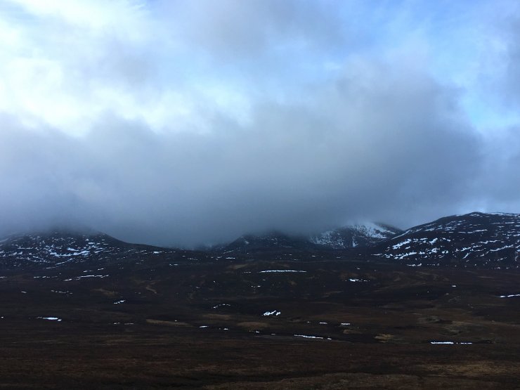
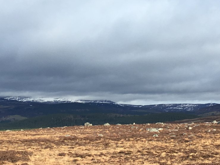
Not going to say the four letter word that starts with G and ends in E but if the recent rate of snow loss continues it’s not going to take long before we are using the words ‘No Hazard’ in the place of ‘Low Hazard’. The rate of thaw will slow over Monday & Tuesday as the freezing level lowers to around 1000 metres but the outlook is for thaw conditions to return for the second half of the week. It was hard to get inspired today – even biking up the access tracks was hard work as the top surface has been frost damaged and is now very soft and sticky. The mountains seemed to be sucking in the low cloud with the sun visible above the cloud on the ride in but then it blew over and even 900 metre summits disappeared. Very difficult to get any decent photos on my own so thank you very much to Bill from Braemar MRT for donating his shot from the col on Lochnagar.
Comments on this post
Got something to say? Leave a comment


