Thaw conditions..
23rd January 2018
One photo says it all: The substance that brought smiles to the faces of hundreds of skiers on ‘Blue Sky Saturday’ is now in the Cairnwell Burn. Significant snow loss in the past 24 hours due to the worst combination of positive air temperature, rain and strong winds driving it in.
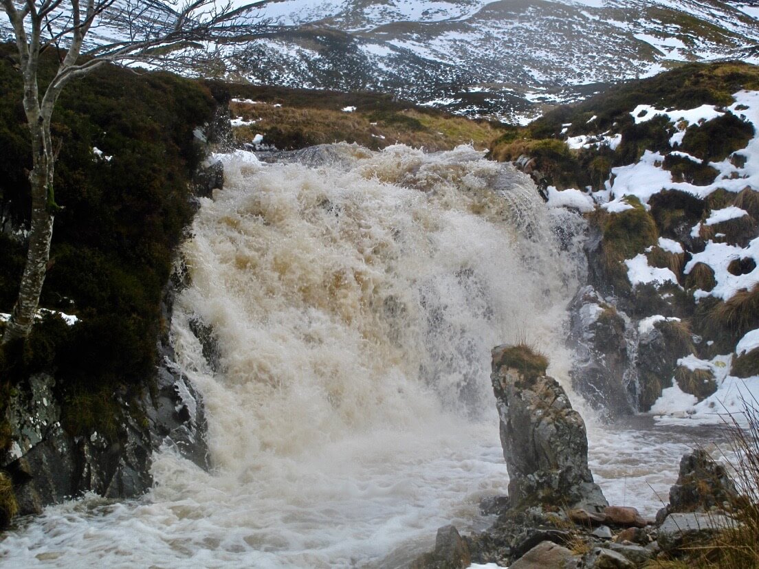
Cairnwell Burn
It’s not all bad news though – as it is due to get cold again this evening and we have some more snow on the way. Quite a complicated weather forecast with the freezing level doing a little ‘blip’ in the night – reaching around 1200m – rain, sleet or snow on the highest summits….
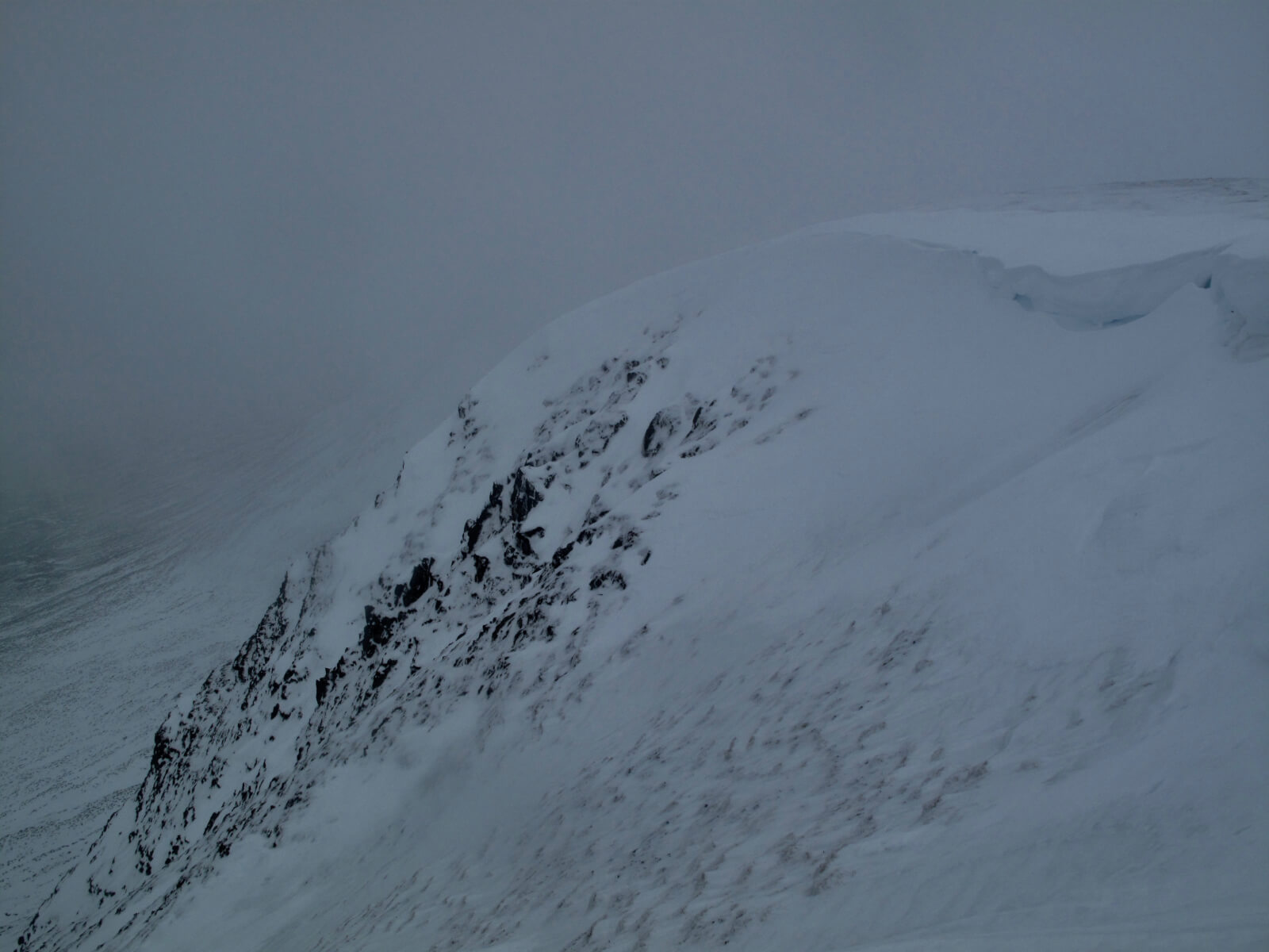
Conditions could be unpleasant at times tomorrow with light snow forecast on very strong winds… Old wet snow will become progressively firmer.
Depleted snow cover at 850m, SE aspect.
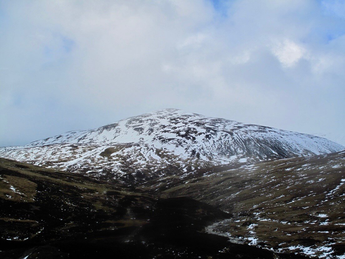
West aspect of Carn an Tuirc, 1019m.
Comments on this post
Got something to say? Leave a comment


