Thaw conditions forecast
14th January 2017
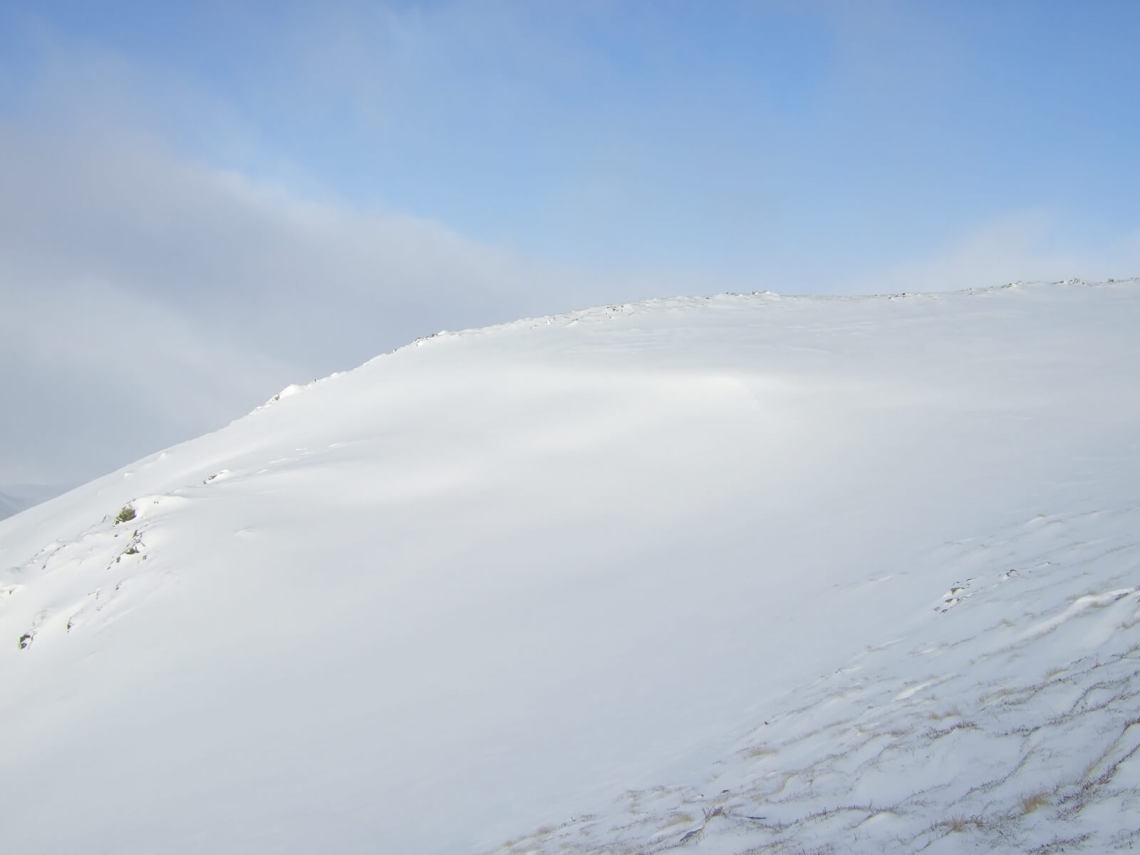
The wind has been the dominant feature of the weather over the past four days with the snow distribution indicative of the often storm force winds. Sheltered locations on East to South aspects are holding deep drifts, while West and North aspects are scoured and bare. It’s all fairly academic though as the freezing level is due to rise up and over the summits tonight with the forecast stating that it will stay mild for the next 48 hours. There will be a period of avalanche activity as the thaw becomes established so please have a look at the report if you are planning to head out into the hills tomorrow.
Comments on this post
Got something to say? Leave a comment


