Isolated Windslab
26th February 2009
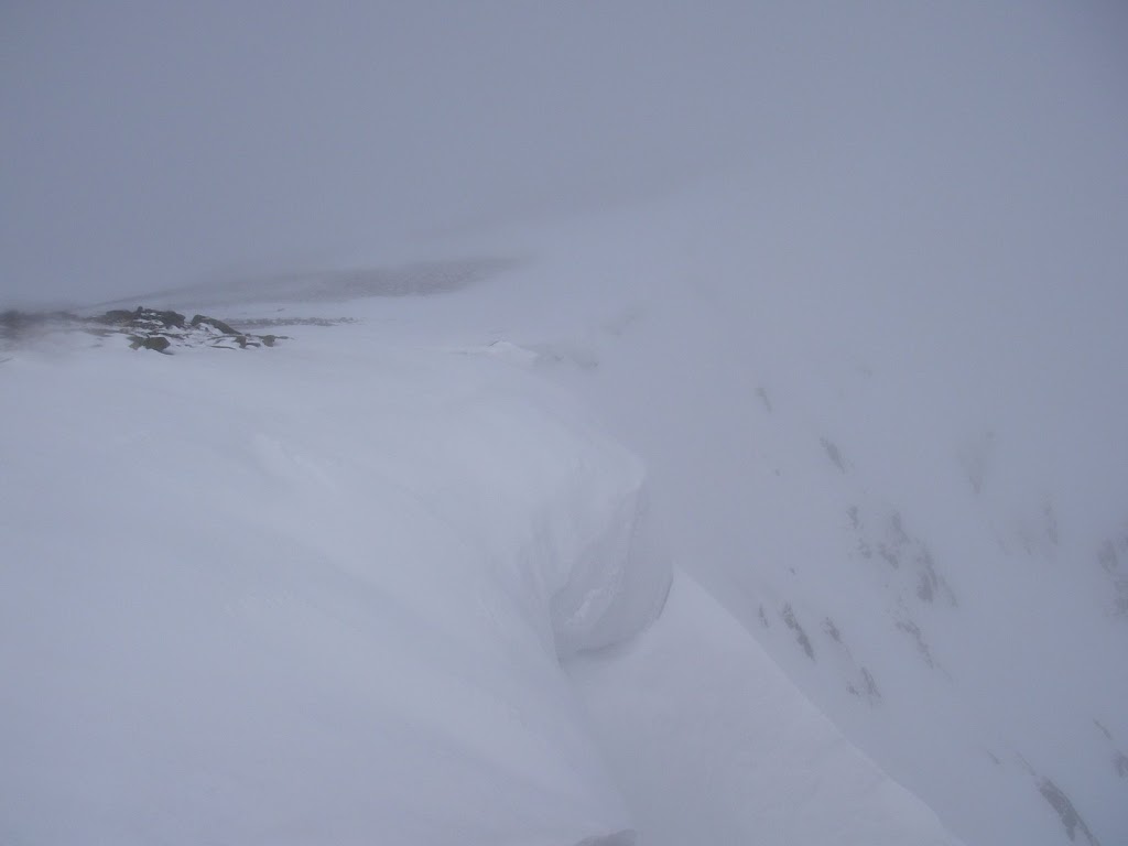 If the photos look blurred it’s because I was getting blown in the wind! It was also quite cloudy up there. This is a rubbish shot of the snow at the top of Coire Dubh Lochan, Beinn a’Bhuird.
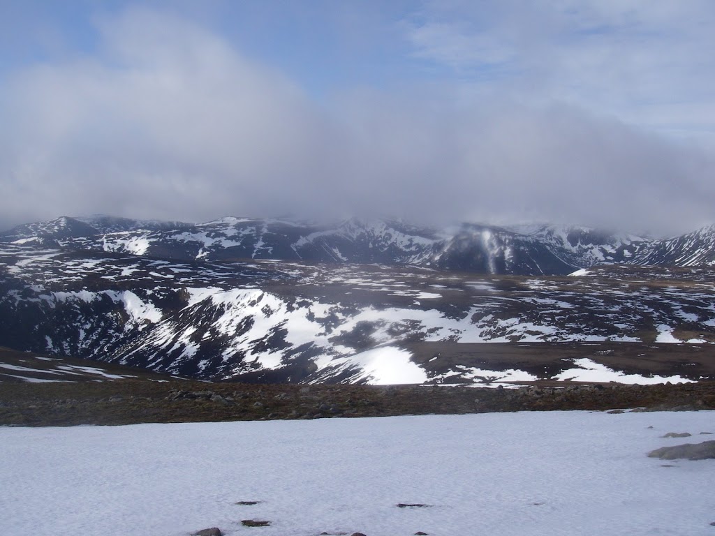 Out of the cloud but still getting blown around by the wind…this shot looks West from Beinn a’Bhuird towards Derry Cairngorm. Black buttresses and patchy cover.
On walking in to Beinn a’Bhuird today I thought I was wasting my time as it looked like there had only been a trace of new snow above 1000 metres. However if you go looking for trouble – as I tend to do most days…there are some areas of windslab! Strong winds have stripped most areas and only localised pockets of windslab are present in sheltered locations. These are deep enough, layered with some graupel present and are sitting on refrozen snow-ice. The freezing level is due to rise to 2200 metres tomorrow with moderate amounts of rainfall forecast. The recently formed windslab will destabilise as the thaw becomes established so there is potential for some avalanche activity.
Sam
Comments on this post
Got something to say? Leave a comment


