Snow showers forecast
4th April 2008
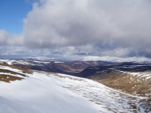
Broken snow cover. Hills below 900 metres are holding small patches of snow only. Large areas remain on the higher hills of 1000 metres or more. The photo below was taken on Glas Maol and is looking towards the main Cairngorm hills.
We have been forecast snow showers overnight and during Saturday on strong North winds. It will become much colder (-5 at 1000m and -7 at 1200 metres) so the old wet snow is going to become very firm and icy. Any remaining cornices should refreeze and become more stable.
Have a safe weekend!
Comments on this post
Got something to say? Leave a comment


