Snowfall forecast
1st March 2008
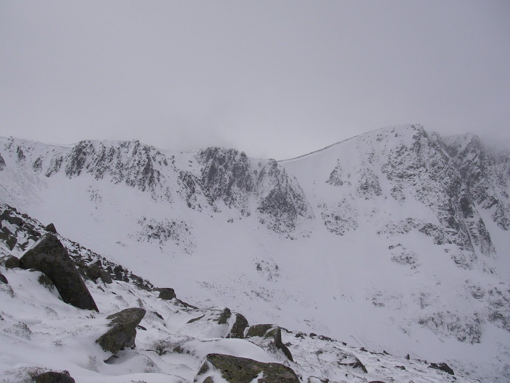 Southern Sector, Lochnagar 1st March 2008
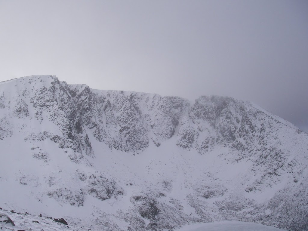
Main Cliffs, Lochnagar 1st March 2008 – Fresh snow on the buttresses
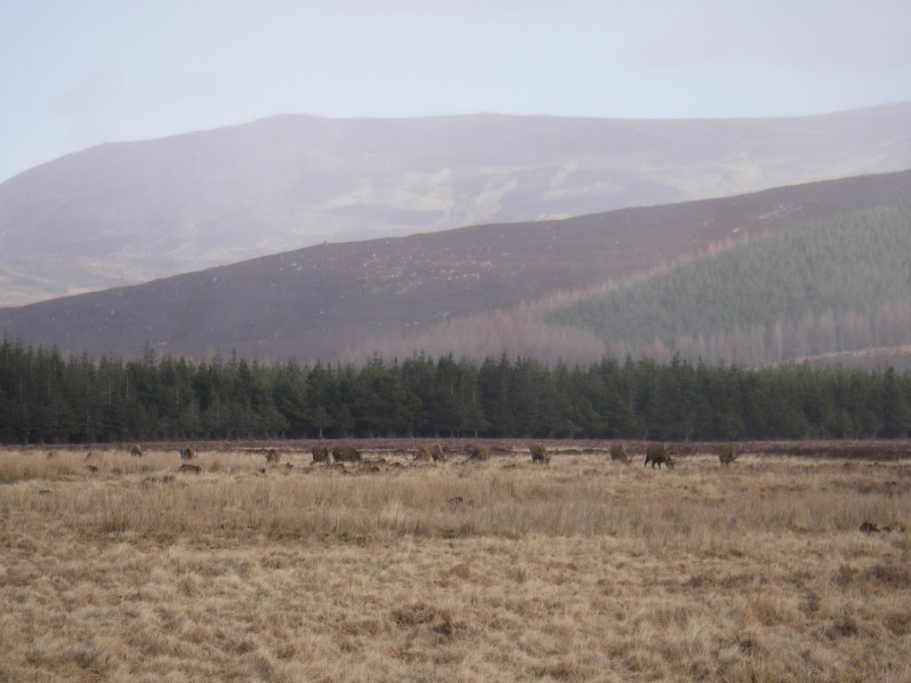

Deer in Glen Muick
A sure sign that it has been nasty on the hills are the herds of deer down in Glen Muick today.
Frequent icy snow showers this morning made for a slighty unpleasant walk into the corrie today as the wind was blowing the precipitation right into your face. The wind was a strong, cold NWesterly and deposits were drifting constantly. The buttresses have picked up a good covering of fresh snow as have the gullies. The loch is frozen over. Most brave souls out today were heading on to the top but a couple of sets of footprints went into the corrie – but the owners couldn’t be spotted.
The forecast for tonight is a band of snowfall driven on by 60mph Westerly winds. The freezing level is 700 metres but it is possible that the snow may fall at lower levels. The band of snow will fragment on Sunday morning and turn showery but the strong WNW winds (50mph) will continue to drift any available deposits. Conditions will be difficult during the showers. This volume of snow combined with the very strong winds will load steeper sheltered locations with windslab and we are expecting avalanches to occur, most especially during the snowfall and when the showers are at their most frequent. Take care…
Sam
Comments on this post
Got something to say? Leave a comment


