Blizzards Forecast
30th January 2008
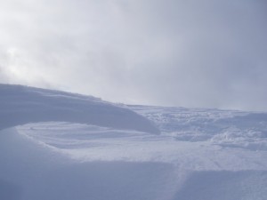
 The view to Carn Aosda from Carn nan Sac – note areas of both eroded and drifted snow.
 Beautifully carved wind sculptures were everywhere today indicating the fact that although we had very little new precipitation overnight a lot of snow had been moving around. What was a thin even cover yesterday became stripped areas and fairly deeply drifted areas of unstable windslab today.
The forecast for the next period is fairly significant with heavy snowfall above 900 metres and very strong winds arriving overnight. There will be further snow showers and 70 mph winds on Thursday. Naturally triggered avalanches will occur.
So if you are out in the hills tomorrow – take care. If instead you have a sensible job – think of the SAIS observers who will be out in 5 very windy mountain areas of the country!
Sam
Comments on this post
Got something to say? Leave a comment


