A patchier landscape.
9th March 2020
With the freezing level around 900 metres or so there has been further snow loss, particularly at lower levels. However, cover remains reasonable above 900 metres with Easterly aspects holding most amounts.
Expecting further snowfall this evening but unfortunately freezing levels will rise above the summits until tomorrow afternoon so it’s likely new accumulations will make little difference to the snow cover.
Some pics from the phone –
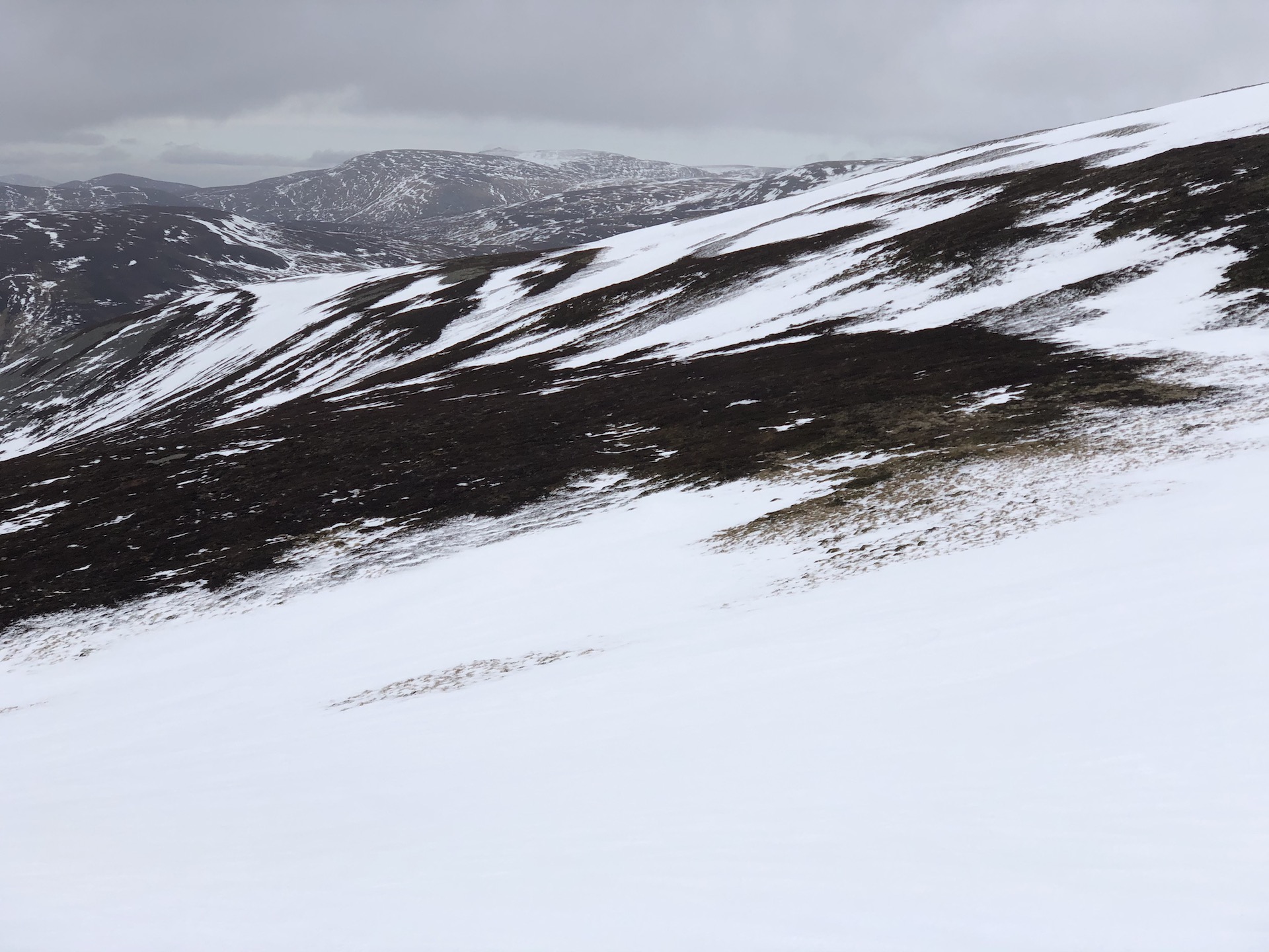
Looking across towards The Stuic from the Carn Aosda area. Cover very patchy on Westerly aspects.
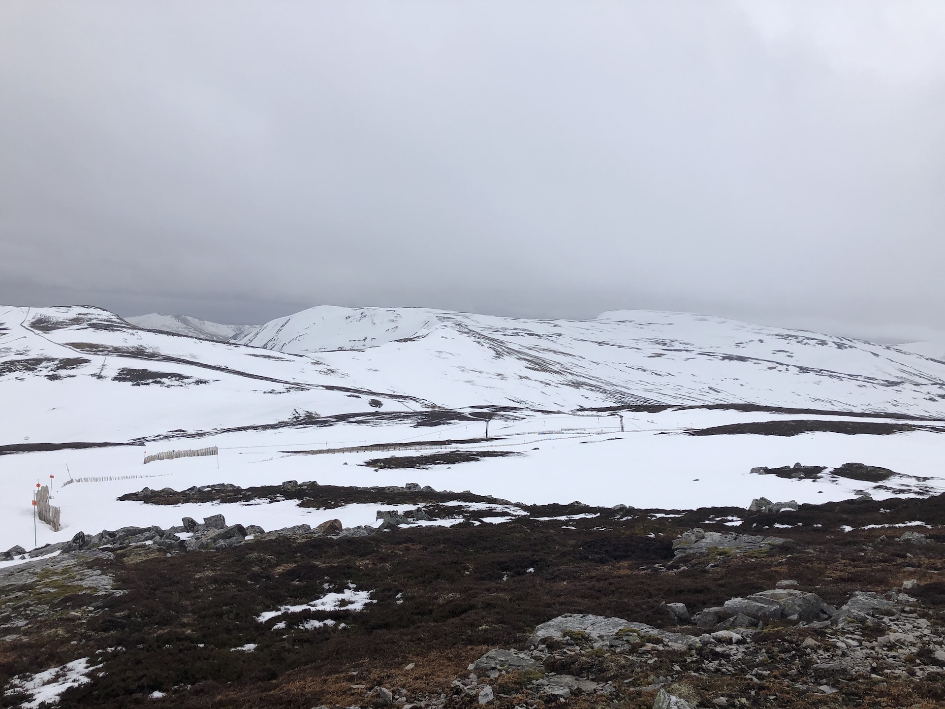
Looking over Easterly aspects. Ski touring possibilities towards Carn a Gheoidh.
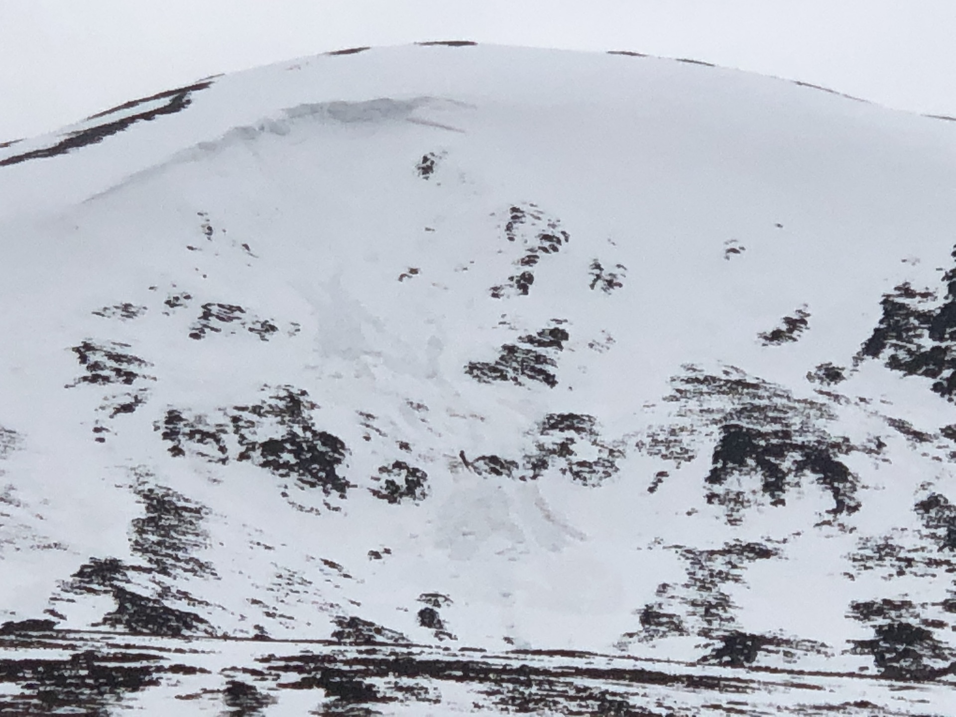
Cornice collapse and wet snow debris on steep terrain. Any remaining cornices will be prone to collapse.
Comments on this post
Got something to say? Leave a comment


