More snow forecast…
9th February 2020
Pretty serious conditions at altitude today with gusts of over 90 mph on The Cairnwell (930m) and 125 mph on Cairngorm (1245m). The burns were in spate  and I got a soaking right at the start of the day. As expected most of the snow is superficial but where you find a wind sheltered location, deep drifts have formed. Temperatures rose a little later than expected but the fluctuation has encouraged consolidation. More snow on the way and importantly the freezing level is lowering to around 450 metres – so the dry, light deposits are going to drift easily in the very strong winds and accumulate rapidly in wind sheltered locations. Stay safe out there….

Carn an t-Sagairt Mor (1047m). Snow on NE aspects, deepest in sheltered locations: Superficial elsewhere.
Very typical conditions – mostly superficial snow and then in wind sheltered locations – very deep drifts. Burn line at 950m, NW of the t-Sagairts Col

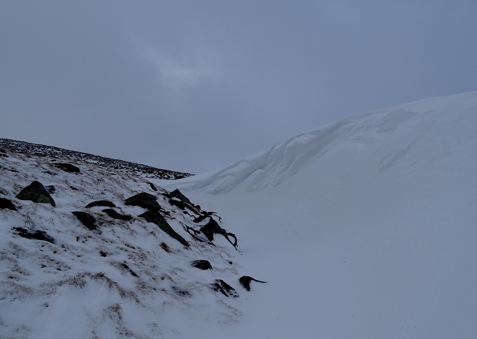
Murky shot between the snow showers – typical cover on NE aspects, cornices starting to develop.

Views NW from Carn an t-Sagairt Mor to Morrone and the Cairngorms during a break in the snow showers.
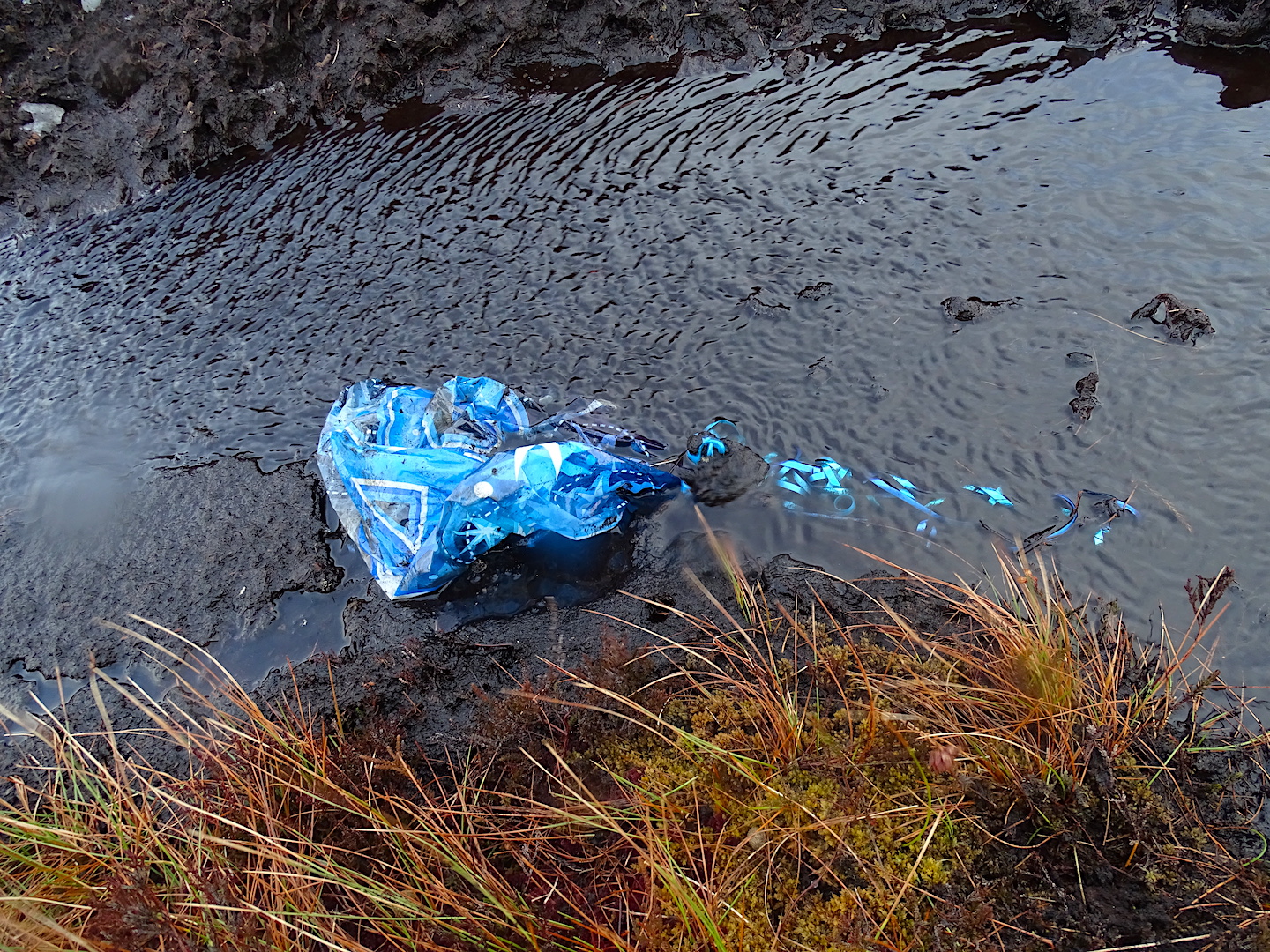
Are these things really necessary to have a great celebration? I find gooey chocolate cake works a treat…and yes it has been disposed of responsibly.
Comments on this post
Got something to say? Leave a comment


