Windy Wednesday!
11th March 2008
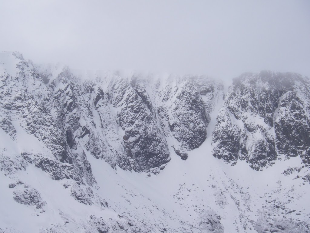 Lochnagar on Sunday 9th March – Conditions may be different now.
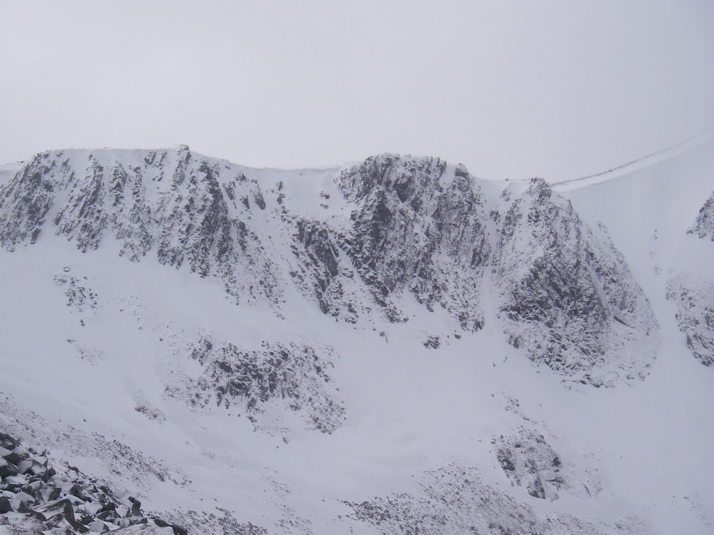 Photo below was taken today on Glas Maol looking West
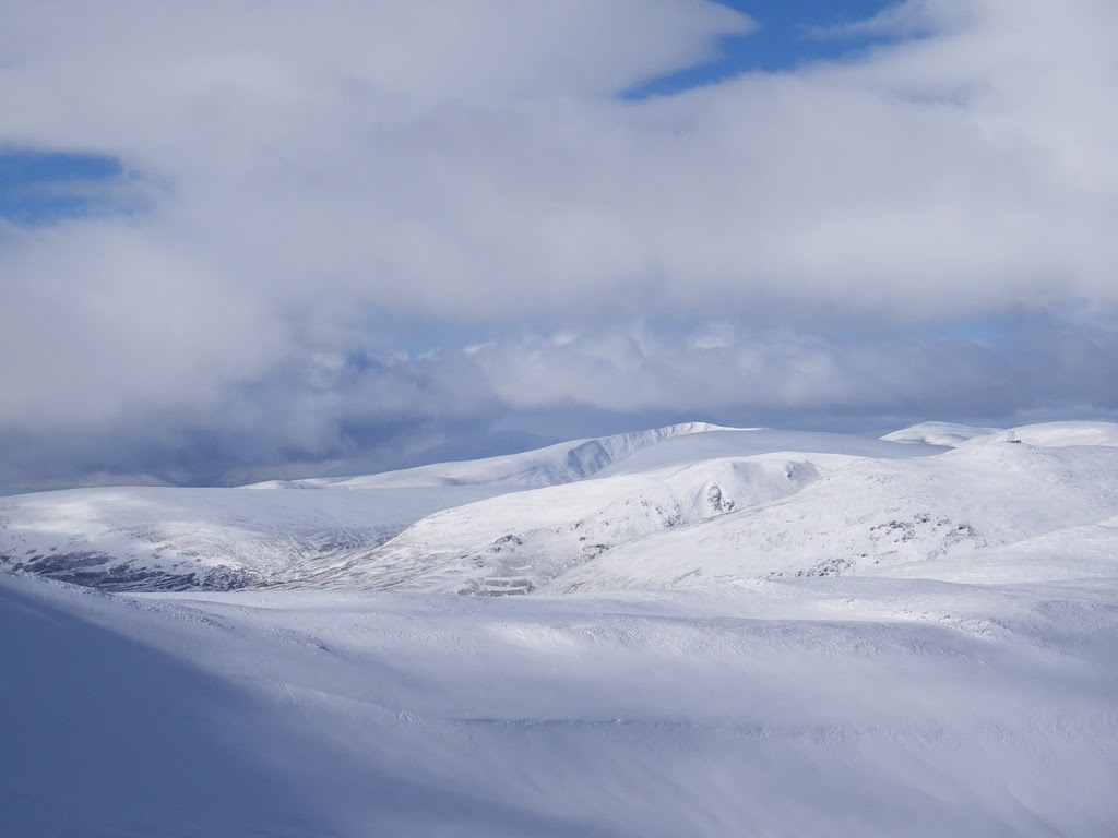
Some cover on most aspects above 700 metres now – varies from drifts to firm snow-ice.
It was a fairly pleasant day with lighter winds and mainly broken cloud. Occasionally the wind picked up enough to start drifting deposits but generally the snow wasn’t redistributing. Yesterday’s snow has started to consolidate but the deeper drifts are still unstable on steeper ground, and there are some cornices present.
After a dry night the winds are going to increase to 70mph from the NW and a band of snow will arrive. No indication has been given for how long the period of snowfall will be, but a quick look at the evening forecasts always helps to get a more accurate idea. The winds are going to cause blizzard conditions and windslab will rapidly form in the locations mentioned on the main report. It will be a fairly difficult day on the higher hills!
Sam
Comments on this post
Got something to say? Leave a comment


